A large underground mining operation within a mining and metals group in the CIS region.
Location: CISDepth sensing and 3D reconstruction made each haul-truck load measurable and linked the result to a specific truck and journey.
The loading problem
Underloaded trucks use transport capacity inefficiently, while overloaded bodies create their own operating constraints. The mine needed a repeatable way to measure the rock mass carried in underground haul trucks and identify departures from the required loading level.
The aim was to replace approximate visual assessment with a measurement that could be used to analyse trips and improve loading practice.
How the system measures a load
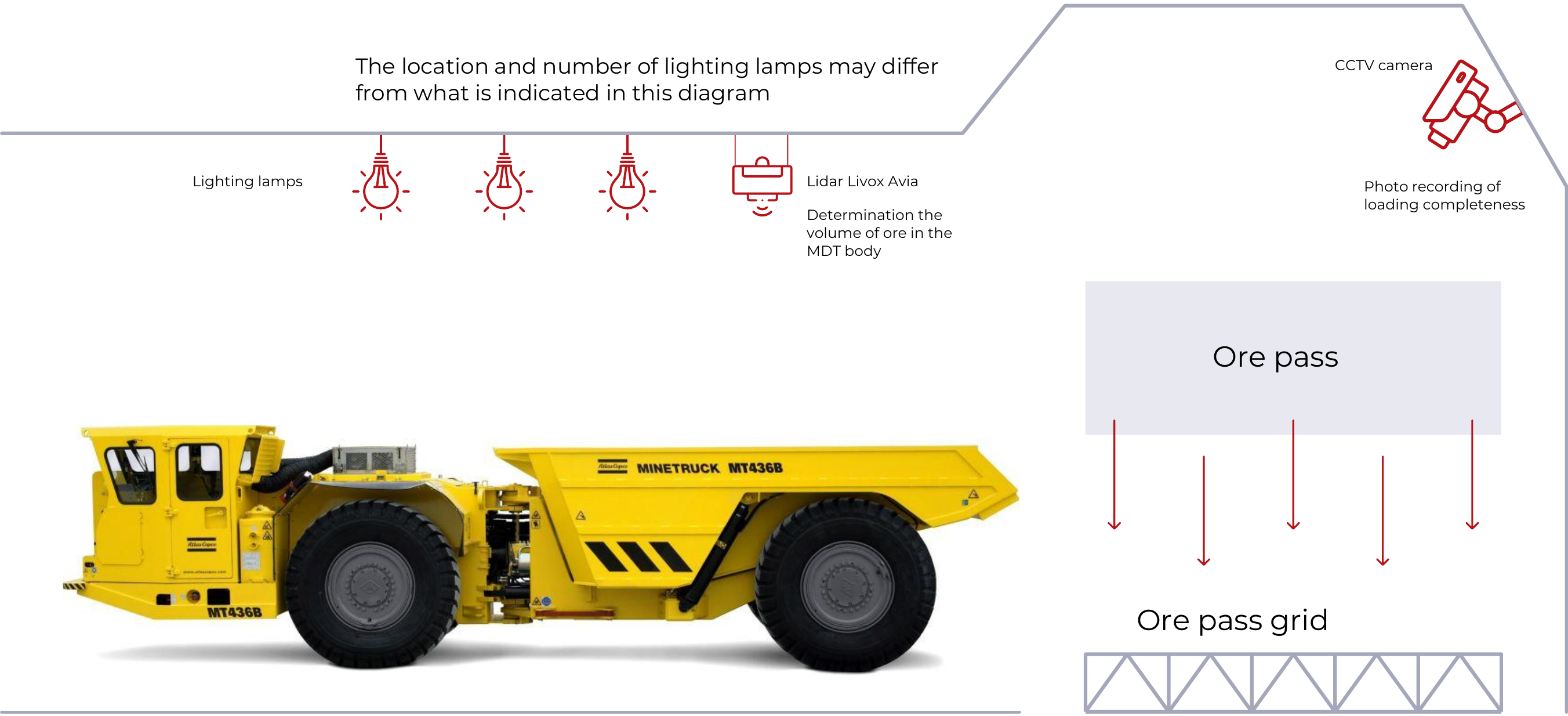
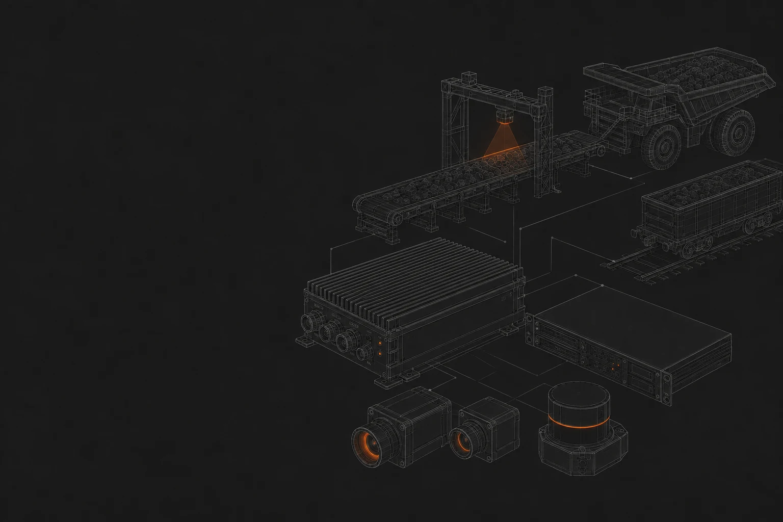
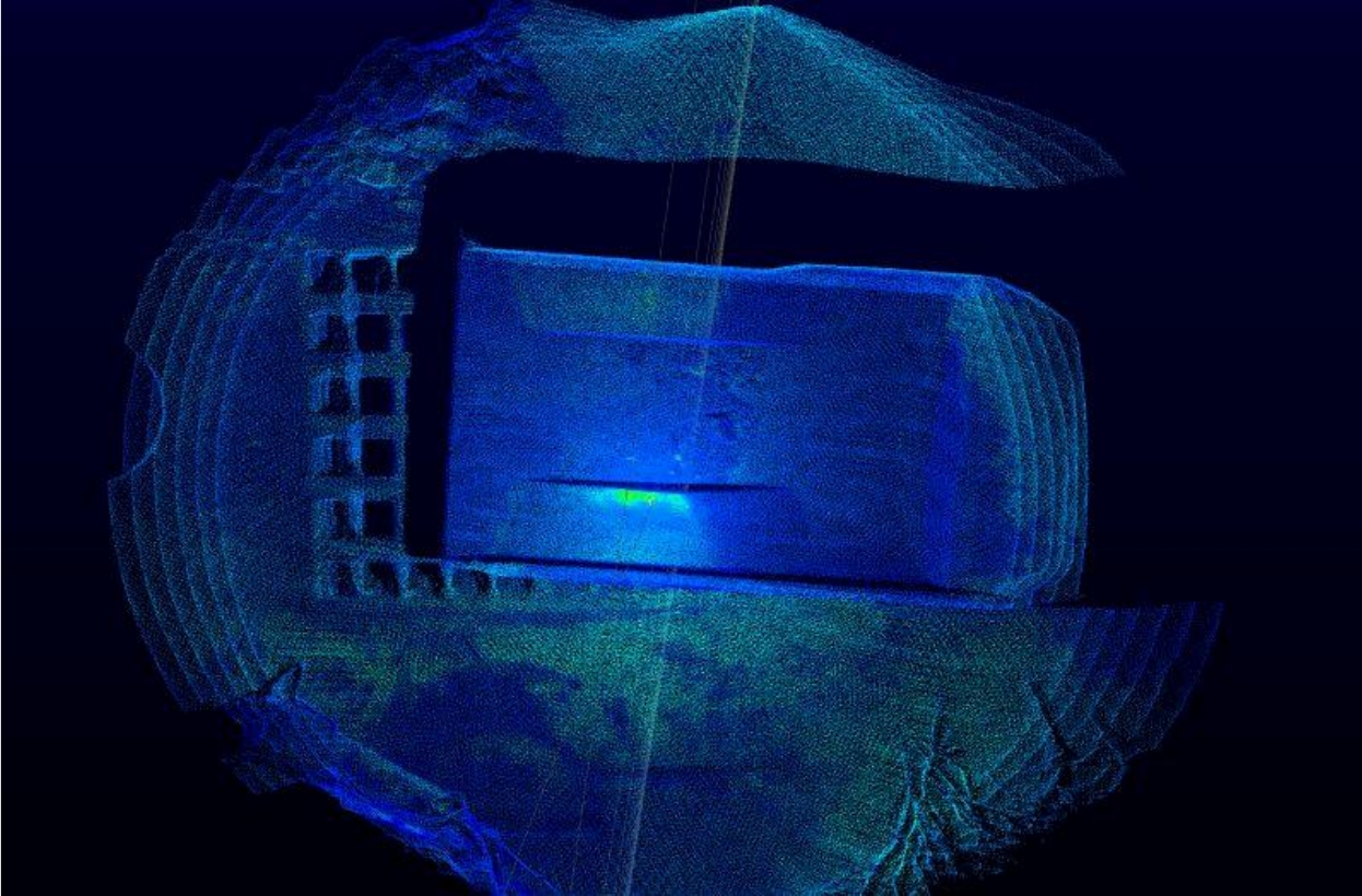
LiDAR cameras capture the truck body and produce data for a three-dimensional reconstruction. The system calculates the ore volume and degree of body fill, then identifies underload or overload against the configured criteria.
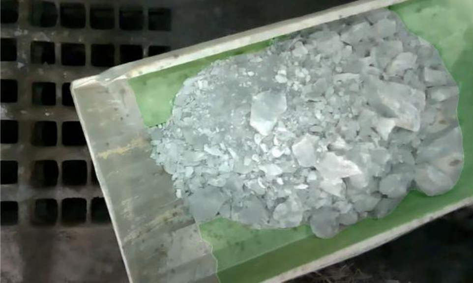
The truck is associated with its body code. Measurement results are retained with photographic evidence, making it possible to review both the calculated value and the material visible at the time.
From individual trips to operational analysis
The delivered workflow supports analysis by trip, vehicle and ore pass. The loading measurement therefore becomes part of a structured operating record, rather than an isolated figure on a screen.
This helps the team locate recurring underloading and compare loading practice across the measured transport activity.
Reported outcome
The project account reports 2.5 times fewer underloaded trips and an 8% increase in monthly ore output. The reported error in volume measurement was below 2%.
These values relate to the equipment, reference measurement procedure and operating conditions of this installation. A new site would need its own validation of body geometry, acquisition setup and volume reference.
How the load is measured
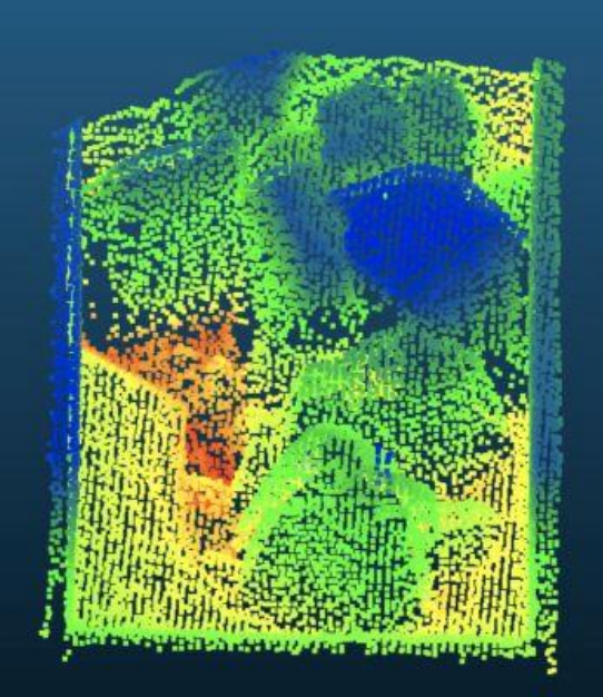
Sensor placement