
Planned inspections
Process flight imagery to identify selected component defects, vegetation and activities inside protected corridors.
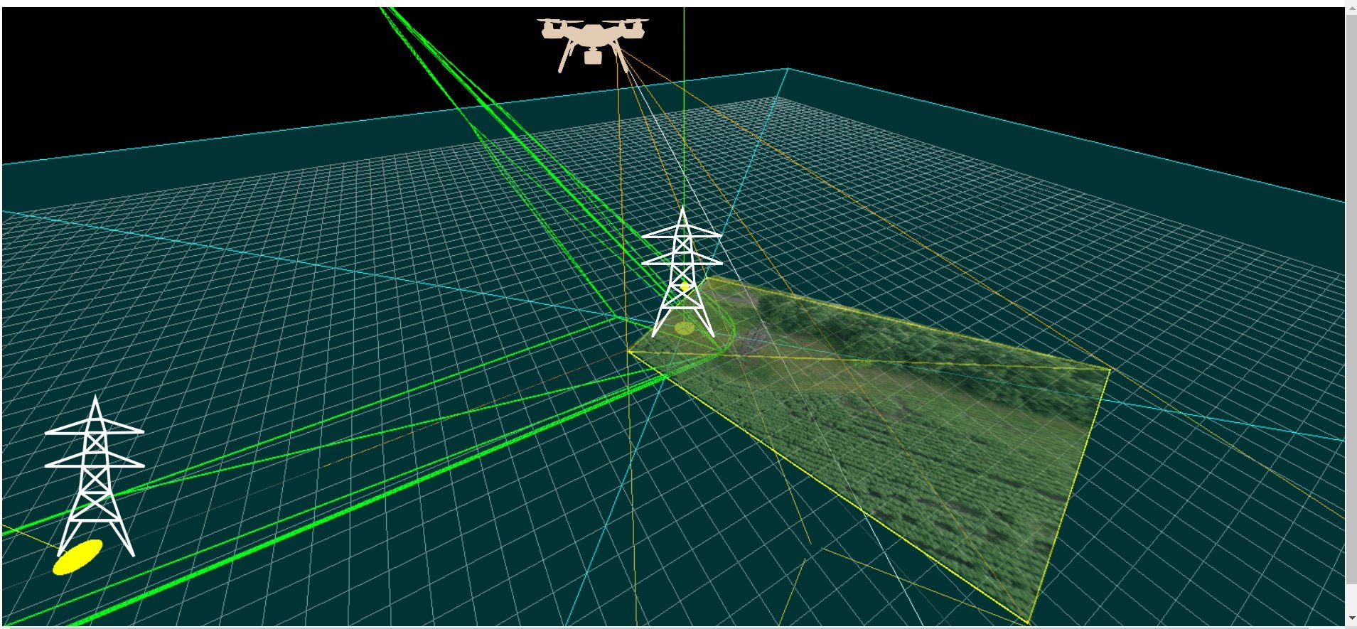
Analyse UAV images for power line component defects and corridor observations. Connect findings to asset location, inspection evidence and maintenance review.
Process flight imagery to identify selected component defects, vegetation and activities inside protected corridors.
Bring the image, location and defect category together for review and repair planning.
A configured onboard workflow can detect selected urgent conditions and transmit their coordinates when communications permit.
Compare imagery from periodic flights to track visible construction progress and changes along the asset route.
 Partner deploymentEnergy & utilities · CIS
A major electricity distribution company in the CIS region.
Computer vision helps identify infrastructure defects and prioritise inspection findings.
Explore the caseExplore the solution with ViewLogic. A selected delivery partner leads implementation, supported by our software and technical team.
Analyse the captured imagery for selected components and defects, associate findings with asset location and retain the image evidence for inspection and maintenance review.
Provide representative views of assets, confirmed defects and acceptable conditions. Agree image resolution, capture angles, location data and the defect categories that the reviewer needs.